Written by Satu
25 Aug 2017
Part 1: About Sarek National Park, Getting there, Stay in Sarek
Part 2: Hiking Trails, Other notes, Links
Hiking Trails in Sarek
There are plenty of trails available, however I only research small part (that I visited this summer). Kungsleden trail from Saltuokta to Kvikkjokk is well marked and can be followed easily. I divide area in Sarek into two categories: bottom area of the mountain, and the mountain side. In the bottom, it is full of trees. If you are walking Kungsleden, the mark will be on the tree. If you are not, it is still easy to see and follow the trails. On the mountain side, the trails get a bit tricky. It is mostly open with just stones, grass and small trees. Kungsleden is marked on the stones. But other trail will have no marks. Sometimes there are stack of stones as marks, but most of the times there are not. Bringing a compass and knowing which direction you should go is important.
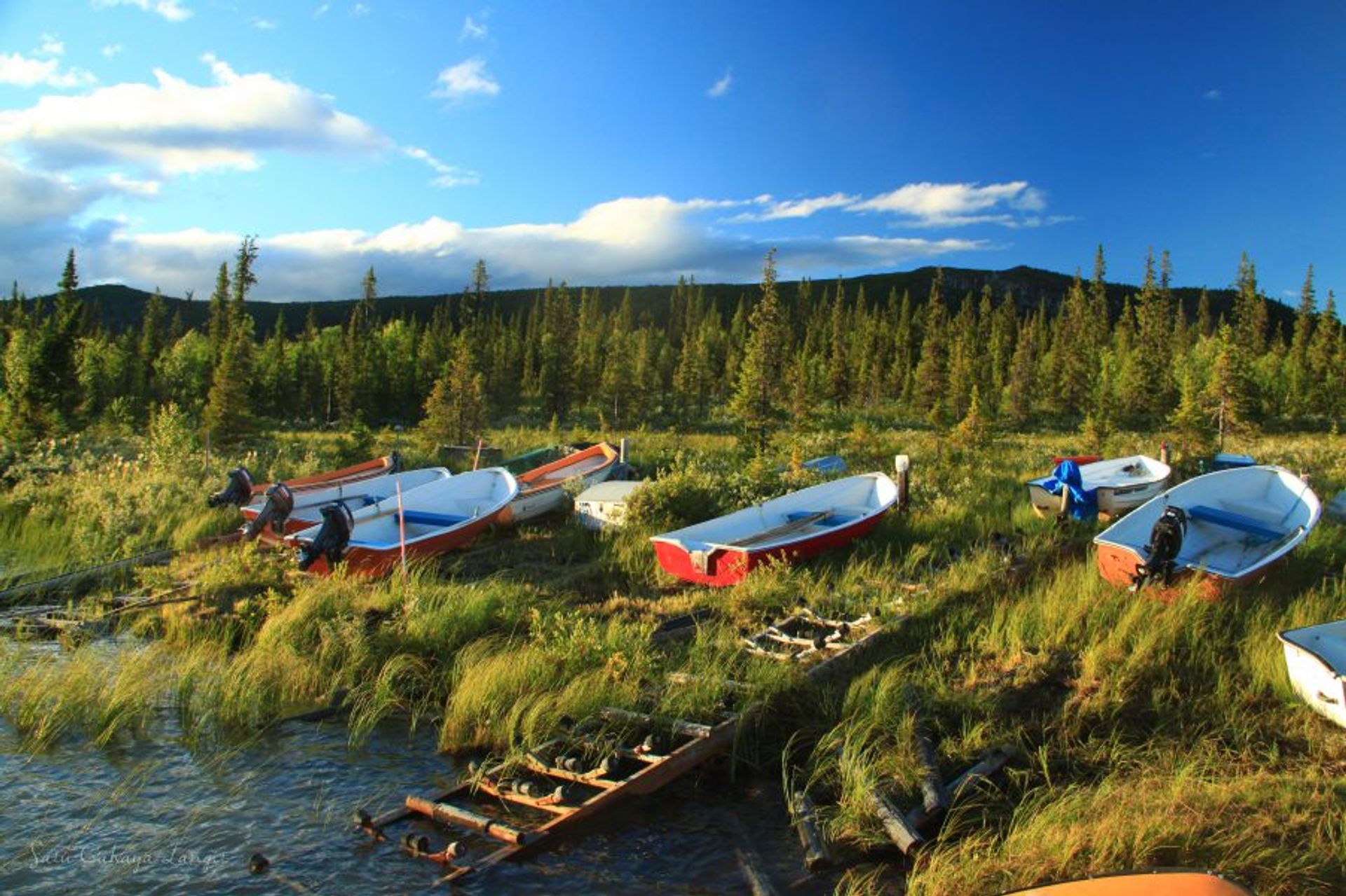
As I mentioned before, Saltuokta and Kvikkjokk entrance requires you to take a boat to cross the trails if you are going towards Rapadalen. Make sure you know if the boat is available, as well as the cost and their schedule.
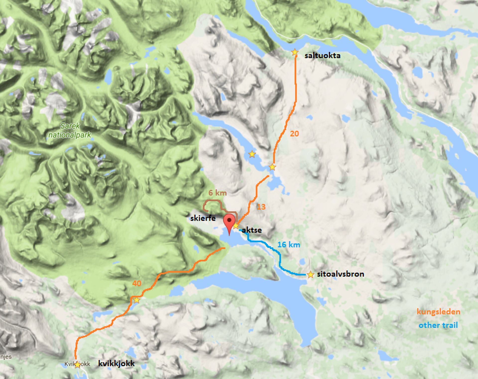
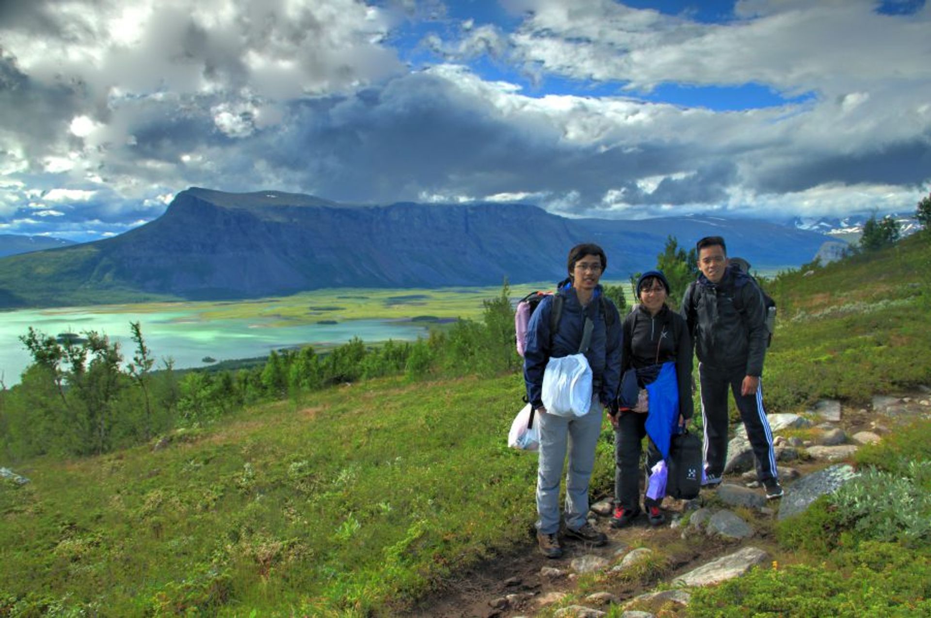
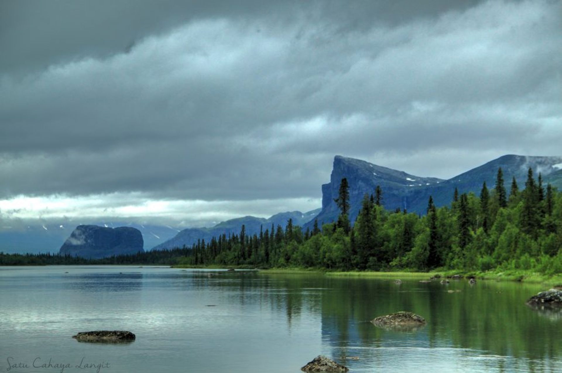
Kvikkjokk to Aktse cabin (STF cabin in Rapadalen) is almost 40km. Saltuokta to Aktse is also about the same distance. We came in through Sitoälvsbron and it is only 16km to Aktse. The foot of the mountain is mostly flat. Mountain side is a bit wavier. I think the difficulty of the trails are medium, due to the height of the mountain side. The famous top Skierfe is off Kungsleden 6 km away. Aktse cabin is 560 meters above sea level (masl) and Skierfe is 1179m tall, that could mean 3 hours of walking uphill non-stop. Even so, Skierfe is a must visit spot in Sarek. Grip yourself!
Other notes on hiking in Sarek
Last month we hike for 4 days with the near entrance (Sitoälvsbron), and walked about 52km in total. Most of other blog I read about trip to Sarek is more than 5 days. My point is, 4 days is the possible, and it is better if you can stay longer. I think it’s good to have spare days and more relaxed walk. Summer would be the perfect season, though mosquitos are on rampage at this time of the year.
As for the preparation, other than the usual camping gears, I would suggest dressing for colder temperature. In the mountain side, the temperature plus the wind can be bad combination. Warmer sleeping bag is good.
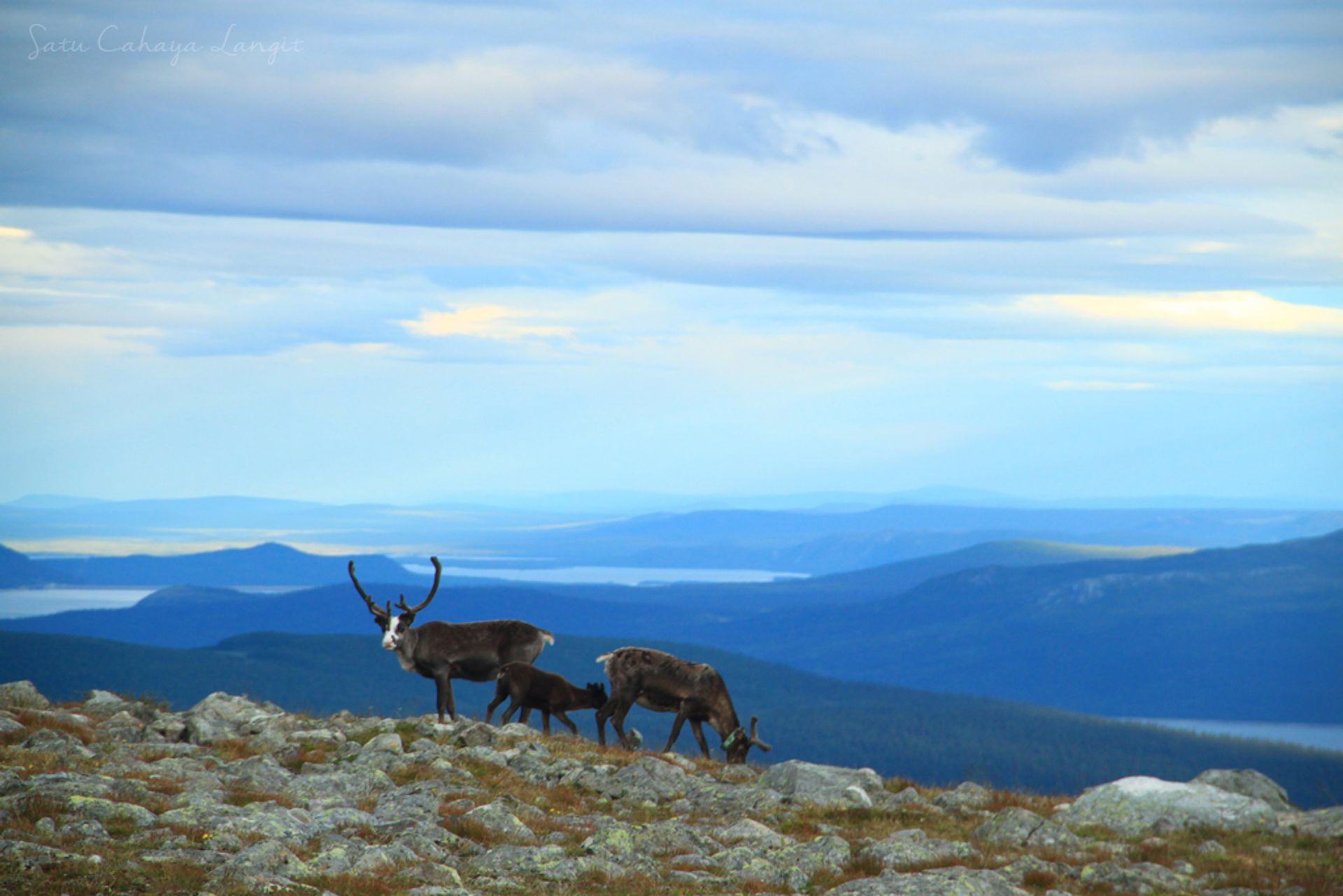
I also would like to remind everyone about rules of every national park in Sweden. That you can camp everywhere for free, but please keep things clean. Do not litter (especially on the water source), do not take anything from the park (not even stone or wood), and do not disturb wild life. Oh, speaking about wild life, you will be greeted by many reindeer in the mountain side. They are cute!
There will be bonus feature if you decide to rent a car. As our group experienced, we get to see cities on our way. And if we have time and the city is nice, we can stop to enjoy it for a bit. One city that we find really nice is Arvidsjaur.
